From Salt Marsh to Mangroves

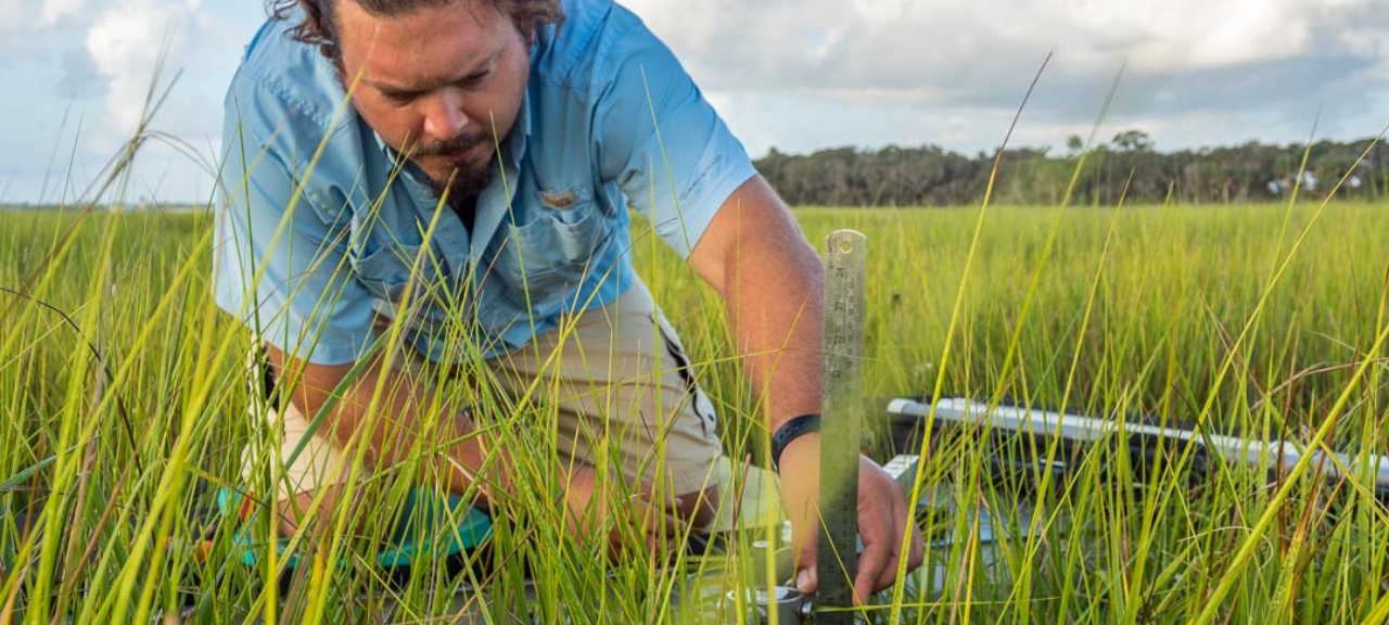
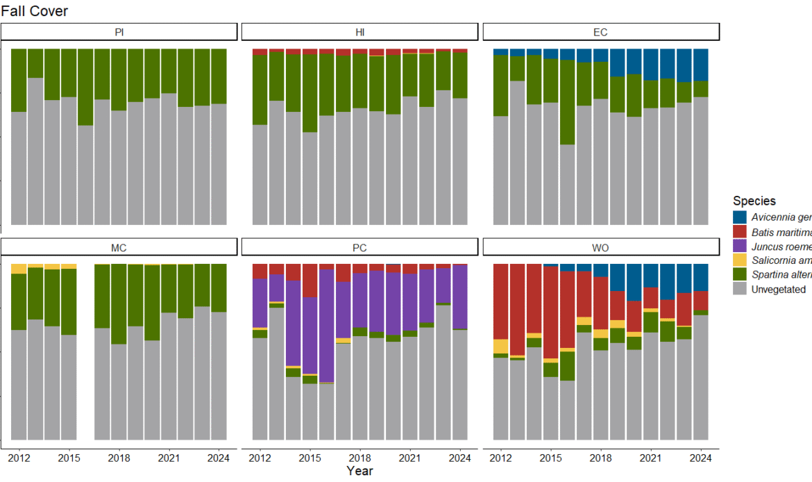
Coastal wetlands, including salt marshes and mangroves, provide nursery habitat for fish, crabs, and shrimp; filter pollutants; absorb flood waters; and contribute to quality of life in Northeast Florida. Monitoring the health of these wetlands involves tracking vegetation changes, surface sediment elevation, and shoreline erosion.

Satellite imagery is used to measure changes in the total area of coastal wetlands; it can even be used to track the expansion of mangroves into salt marsh. The mix of mangroves and salt marsh has historically fluctuated in Northeast Florida.

As a part of the System Wide Monitoring Program (SWMP), NERRs measure localized changes in sites throughout their boundaries including detailed vegetation analysis, tidal inundation, and surface sediment elevation. As sea levels rise, coastal wetlands will only persist if their sediment elevation increases at a faster rate. 

Within the GTMNERR boundary, coastal wetland area has decreased by over 25% since 1990.

Salt Marsh

Measures long-term changes to salt marsh vegetation communities at several permanent stations throughout the reserve.

Sediments

Measures millimeter-increment long-term changes to surface elevation at several permanent stations throughout the reserve.

Mangroves

Long-term monitoring of ecological changes to emergent intertidal habitats within the salt marsh-mangrove ecotone in response to mangrove population expansion.